Population Uninhabited | Highest elevation 100 m (300 ft) | |
 | ||
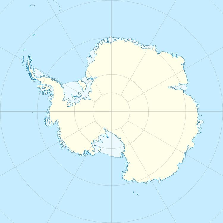
Håkollen Island is an island 2 kilometres (1 nmi) long, rising to 100 metres (330 ft), lying in the southwest part of the Øygarden Group, Antarctica. It was mapped by Norwegian cartographers from aerial photos taken by the Lars Christensen Expedition, 1936–37, and called Håkollen (the shark knoll).
References
Håkollen Island Wikipedia(Text) CC BY-SA
