 | ||
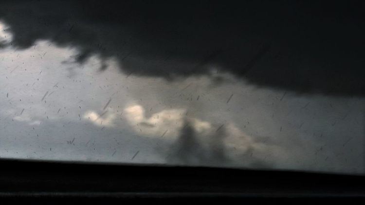
A gustnado is a specific type of short-lived, low-level rotating cloud that can form in a severe thunderstorm. The name is a portmanteau of "gust front tornado", as gustnadoes form due to non-tornadic cyclonic features in the downdraft from the gust (outflow) front of a strong thunderstorm, especially one which has become outflow dominated. It has little in common with tornadoes structurally in terms of vertical development, or in regard to intensity, longevity, and formative process (as classic tornadoes are associated with mesocyclones in the upflow of the storm, not the outflow).
The average gustnado lasts a few seconds to a few minutes, although there can be several generations and simultaneous swarms. Most have the winds of an F0 or F1 tornado (up to 180 km/h or 112 mph), and are commonly mistaken for tornadoes. However, unlike tornadoes, the rotating column of air in a gustnado usually does not extend all the way to the base of the thundercloud. Gustnadoes actually have more in common with whirlwinds (which include dust devils, whirlwinds that form due to superheated surface layers and stretched vorticity, most commonly on sunny, warm days with light winds). They are not considered true tornadoes (unless they connect the surface to the ambient cloud base) by most meteorologists and are not included in tornado statistics. Sometimes referred to as spin-up tornadoes, that term more correctly describes the rare tornadic gustnado that connects the surface to the ambient clouded base, or to relatively brief tornadoes associated with a mesovortex, as indicated by example of the April 3rd, 2011 powerful gustnado(s). The referenced NOAA damage summary in Topeka, KS, April 3rd indicated EF1-type damage such as, damaged power lines and snapped light pole, and split power pole (first hand account).
The most common setting for a gustnado is on the outflow from a severe thunderstorm (more than 93 km/h or 58 mph winds). The cool air in the gust front acts like a mesoscale cold front. It slices under the warm air ahead of it, creating upward motions and turbulent interactions. The friction from this interaction creates a spinning column of air, or eddy, which can create a gustnado (to get the general idea of this, picture an area of leaves swirling on a windy day, just on a much larger scale).
In addition to forming on the leading edge of a thunderstorm, gustnadoes are also not uncommon in the rear-flank downdraft of supercells. This region often contains high vorticity air, and sometimes highly buoyant air, both of which are conducive to the formation of gustnadoes as well as tornadoes. Gustnadoes near the updraft-downdraft interface may evolve into bona fide tornadoes when ingested into a mesocyclone.
Although "gustnado" has yet to enter accepted weather nomenclature, the term is popular in the Great Plains and Midwest of the United States, where the phenomenon is most common.
While injuries or deaths are rare from gustnadoes, strong ones can cause damage. There is some speculation that a gustnado might be responsible for the collapse of a stage at the Indiana State Fair on August 13, 2011 which killed 7 people.
