
Country Canada Area 151.6 km² Population 0 (2011) | Time zone MST (UTC-7) Elevation 740 m Local time Saturday 4:49 PM | |
 | ||
Weather -15°C, Wind E at 13 km/h, 75% Humidity | ||
Gunn is a hamlet in Alberta, Canada within Lac Ste. Anne County. It is located west of the junction of Highway 43 and Highway 33 on the northeast shore of Lac Ste. Anne. It is approximately 58 kilometres (36 mi) northwest of Edmonton and has an elevation of 740 metres (2,430 ft).
Contents
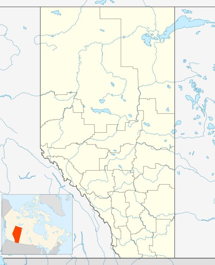
Map of Gunn, AB, Canada
The hamlet is located in census division No. 13 and in the federal riding of Yellowhead.
The village has the name of Peter Gunn, a local politician.
Demographics
As a designated place in the 2016 Census of Population conducted by Statistics Canada, Gunn recorded a population of 10 living in 4 of its 10 total private dwellings, an increase from its 2011 population of 0. With a land area of 0.01 km2 (0.0039 sq mi), it had a population density of 1,000.0/km2 (2,590.0/sq mi) in 2016.
As a designated place in the 2011 Census, Gunn had a population of 0 living in 1 of its 1 total dwellings, a -100% change from its 2006 population of 93. With a land area of 0.01 km2 (0.0039 sq mi), it had a population density of 0/km2 (0/sq mi) in 2011.