
Country Area 6,484.63 km2 District | Population 137,175 (2001) Languages spoken Hindi, English State | |
 | ||
University Jaypee University of Engineering and Technology | ||
Map of Guna, India
Guna is a city and a municipality in Guna district in the Indian state of Madhya Pradesh. It is the administrative headquarters of Guna District and is located on the banks of Parbati river. The city is connected to road network with other major cities of state as it is situated close to National highway 3. It also has a airport which is used by a flying academy.
Contents
- Map of Guna India
- Kodaikanal guna cave scenic beauty at its best
- Guna 114
- Geography
- Demographics
- Famous places
- References
Kodaikanal guna cave scenic beauty at its best
Guna 114
Geography
Guna is located at 24.65°N 77.32°E / 24.65; 77.32. It has an average elevation of 474 metres (1555 ft).
Demographics
As of 2011 India census, Guna has a population of 180,978. Males constitute 52.29% of the population and females 47.71%. Guna has an average literacy rate of 81.7%, In Guna, 13% of the population is under 6 years of age.
Famous places
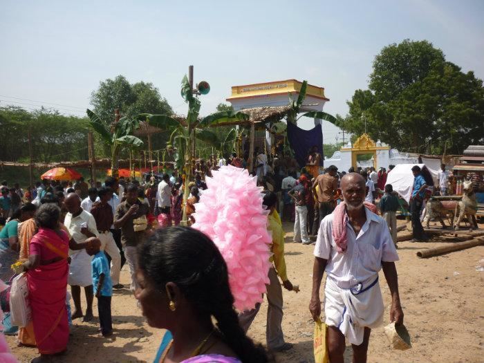
- Kedarnath
- Hanuman Tekri
- Bees Bhuja Devi
- Christ The King Church
- Hanuman Mandir AB Road
- Sai Mandir, AB Road
- Bude Balaji
- Nihaal Devi
- shri Sai baba mandir kokate colony

References
Guna, India Wikipedia(Text) CC BY-SA