
Time zone CST (UTC-6) Elevation 234 m Local time Saturday 3:17 PM Area code 479 | Established 1838 GNIS feature ID 69706 Area 51.3 km² Population 1,420 (2000) | |
 | ||
Weather 3°C, Wind NE at 16 km/h, 75% Humidity | ||
Gum Log Township is one of nineteen current townships in Pope County, Arkansas, USA. As of the 2000 census, its unincorporated population was 1,420.
Contents
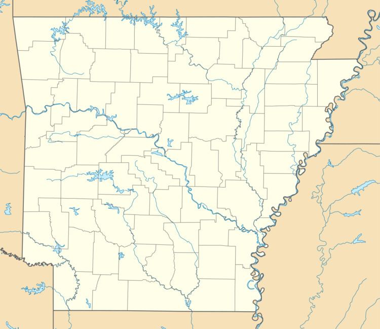
Map of Gum Log Township, AR, USA
Geography
According to the United States Census Bureau, Gum Log Township covers an area of 19.8 square miles (51 km2); all land. Gum Log Township gave part of its area to Valley Township in 1879.
Cities, towns, and villages
References
Gum Log Township, Pope County, Arkansas Wikipedia(Text) CC BY-SA