
Location Visayan Sea Width 2.5 km (1.55 mi) Pop. density 540 /km (1,400 /sq mi) Province Santa Fe, Cebu | Length 6.8 km (4.23 mi) Population 7,208 (2015 census) Area 13.34 km² Municipality Santa Fe, Cebu | |
 | ||
Region Central Visayas (Region VII) | ||
Guintacan is an island of the province of Cebu in the Philippines. It lies about 25 kilometres (16 miles) off the west coast of Cebu, 12 kilometres (7 mi) northeast from Bantayan Island, and 10 kilometres (6 mi) from Hilantagaan Island. The island is within the municipality of Santa Fe and comprises three barangays: Hagdan, Kinatarkan and Langub.
Map of Kinatarkan Island, Santa Fe, Philippines
The island has an elongated elliptical shape, about 6.8 kilometres (4.2 mi) long (N-S) and 2.5 kilometres (1.6 mi) wide (E-W). Offshore are numerous coral reefs and seagrass beds. The topography of the island is hilly and along the eastern coastline is a large lagoon. The coast of the island is dominated by numerous towering rock cliffs, which are interrupted by some flat beaches. The vegetation of the island consists of dense tropical vegetation, in the interior there are also large intensive agricultural areas.
A number of sinkholes have formed at various locations on the island. While one appeared in 2014, it is thought that others had developed some years earlier. As from August 2014 their cause is still being assessed.
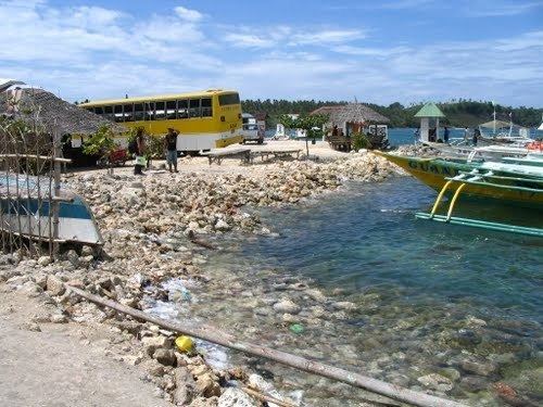
The island can be reached by ferry from Daanbantayan, and from Santa Fe by pump boat.
There is a lighthouse - LS Guintacan - to the southeast of the island (⛯ 11°18′06″N 123°53′28″E).