
Country United States County Jo Daviess Time zone CST (UTC-6) Elevation 242 m Local time Saturday 8:41 AM | State Illinois Established November 2, 1852 ZIP codes 61028, 61036, 61075 Area 96.71 km² Population 1,206 (2010) | |
 | ||
Weather -8°C, Wind N at 14 km/h, 32% Humidity | ||
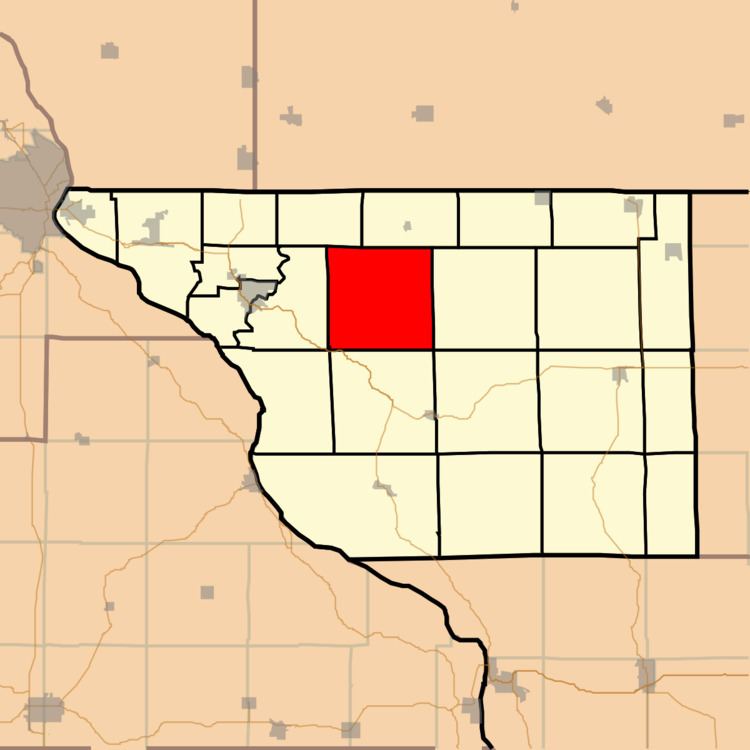
Guilford Township is one of twenty-three townships in Jo Daviess County, Illinois, USA. As of the 2010 census, its population was 1,206 and it contained 1,972 housing units.
Contents
- Map of Guilford Township IL USA
- Geography
- Adjacent townships
- Cemeteries
- Major highways
- Landmarks
- School districts
- Political districts
- References
Map of Guilford Township, IL, USA
Geography
According to the 2010 census, the township has a total area of 37.34 square miles (96.7 km2), of which 37.15 square miles (96.2 km2) (or 99.49%) is land and 0.19 square miles (0.49 km2) (or 0.51%) is water.
Adjacent townships
Cemeteries
The township contains Singers Catholic Cemetery.
Major highways
Landmarks
School districts
Political districts
References
Guilford Township, Jo Daviess County, Illinois Wikipedia(Text) CC BY-SA