
Topo map USGS Guijarral Hills Country United States of America | Elevation 192 m | |
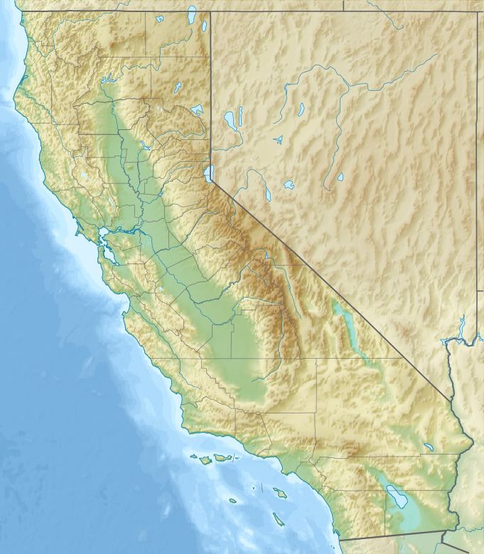 | ||
The Guijarral Hills are a range of low hills in the inner California Coast Ranges, in Fresno County, California, about seven miles east of the town of Coalinga. Guijarral is derived from a Spanish word meaning "heap of pebbles".
Map of Guijarral Hills, California 93210, USA
They are the surface expression of an anticlinal structure which continues to the south as the Kettleman Hills, and to the north as Anticline Ridge, a portion of the huge Coalinga Oil Field. The Guijarral Hills overlie the smaller and mostly exhausted Guijarral Hills Oil Field. Jayne Avenue, which connects Interstate 5 to Coalinga, is the major east-west road through the hills.
References
Guijarral Hills Wikipedia(Text) CC BY-SA