
Time zone CST (UTC+8) Subdivision 14 Villages Local time Saturday 2:54 PM Province Taiwan Province | Region Eastern Taiwan Post code 976 Area 157.1 km² Population 13,395 (Dec 2014) | |
 | ||
Website www.guangfu.gov.tw (Chinese) Weather 23°C, Wind N at 11 km/h, 77% Humidity | ||
Guangfu Township (Chinese: 光復鄉; pinyin: Guāngfù Xiāng) is a rural township located in mid Huatung Valley between Central Mountain Range and coastal Range of Hualien County, Taiwan. It has 14 villages and a population of 13,395 inhabitants, which the greatest aborigines here is Ami people. The main economical activity is agriculture.
Contents
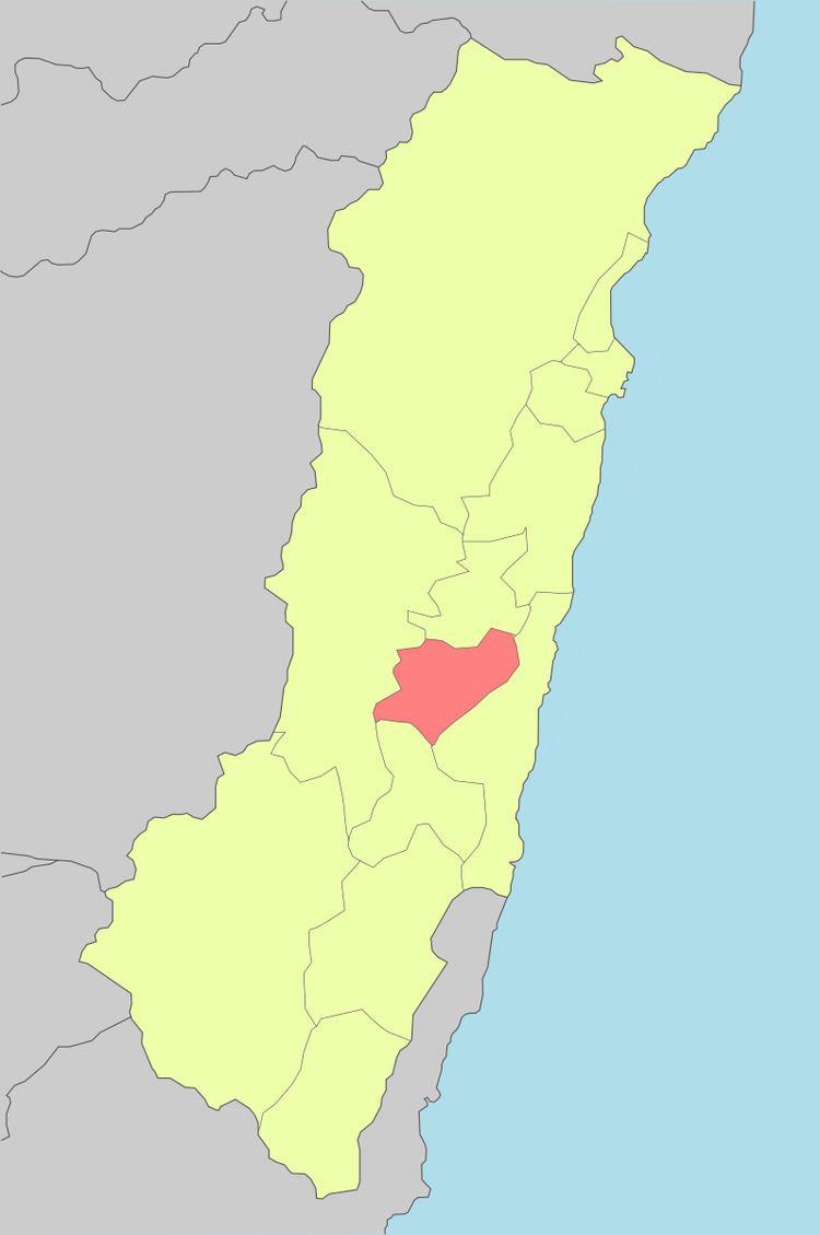
- Map of Guangfu Township Hualien County Taiwan 976
- Geography
- Administrative divisions
- Tourist attractions
- Transportation
- References
Map of Guangfu Township, Hualien County, Taiwan 976
Geography
The township is located at the Huatung Valley.
Administrative divisions
Dahua Village, Daan Village, Daping Village, Dama Village, Datong Village, Tungfu Village, Xifu Village, Nanfu Village, Beifu Village, Dajin Village, Daquan Village, Daxing Village, Dafu Village and Dafeng Village.
Tourist attractions
Transportation
References
Guangfu, Hualien Wikipedia(Text) CC BY-SA