
Time zone ART (UTC-3) Capital Gualeguaychú | Head town Gualeguaychú Area 7,086 km² | |
 | ||
Points of interest Corsódromo de Gualeguaychú, Parque Unzué, Casino de Gualeguaychú, Museo Ferroviario, Reserva Privada el potrero d | ||
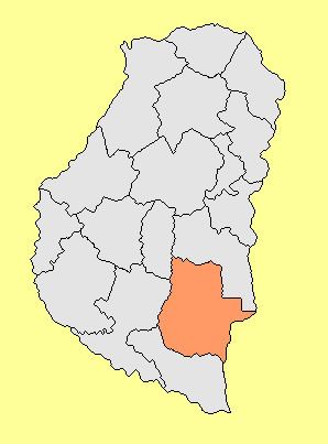
The Gualeguaychú Department (in Spanish, Departamento Gualeguaychú) is an administrative subdivision (departamento) of the province of Entre Ríos, Argentina. It is located in the south-east of the province, beside the Uruguay River.
Map of Gualeguaych%C3%BA Department, Entre Rios, Argentina
The department has 101,350 inhabitants as per the 2001 census [INDEC], which are distributed in 23 districts. The head town is Gualeguaychú (population 76,000). Other cities and towns are Aldea San Antonio, Larroque, Urdinarrain, Gilbert, Enrique Carbó, Pueblo General Belgrano, Irazusta, Costa Uruguay Norte, Aldea San Juan, Faustino M. Parera, General Almada, Las Mercedes, Cuchilla Redonda, Costa San Antonio, Rincón del Gato, Distrito Talitas, Alarcón, Estación Escriña, Costa Uruguay Sur, Pastor Britos, Perdices, and Rincón del Cinto.