
Type reservoir Surface area 2.03 sq mi (5.26 km²) | Basin countries Puerto Rico Area 5.26 km² | |
 | ||
Location San Sebastián / Quebradillas / Isabela municipalities, Puerto Rico Similar Guajataca Tunnel, Bosque Estatal De Guajataca, Jobos Beach, Hacienda El Jibarito, Parque Nacional de las Ca | ||
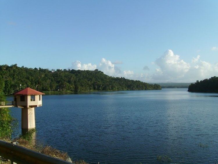
Lago Guajataca is a reservoir located between the municipalities of San Sebastián, Quebradillas, and Isabela in Puerto Rico. This man-made lake was created in 1929.
Map of Guajataca Lake, Puerto Rico
The lake receives flow from the Guajataca River and can be used for fishing. The reservoir provides water to the inhabitants of northwestern Puerto Rico. It is also the location of Camp Guajataca, the island's main camping grounds of the Boy Scouts of America. The lake area is 10 degrees cooler than the rest of the island and provides year round recreational opportunities and outdoor activities including fishing for bass, tilapia and catfish, kayaking, nature watching and relaxing in general.
The name of the lake comes from the area where it is located. Guajataca, sometimes spelled Guajataka, is an area in Puerto Rico between the municipalities of Quebradillas, San Sebastián and Isabela. The name comes from the Taíno Indian word for the area (northwestern Puerto Rico) prior to the arrival of Cristobal Colon. The river, Río Guajataca, also carries the name.
Lago Guajataca was built by the United States Army Corps of Engineers by building a dam across the river Río Guajataca and is owned by the Puerto Rico Electrical Authority. Many schools, businesses, and organizations, including a parador, Boy Scout Camp, and kayak excursion company are named for the area and water way as well.