
 | ||
Neighborhoods Santa Cecilia, Union Jardin, Moreno Canas, Esquivel Bonilla, Santa Eduviges, San Antonio, Pillar Jimenez | ||
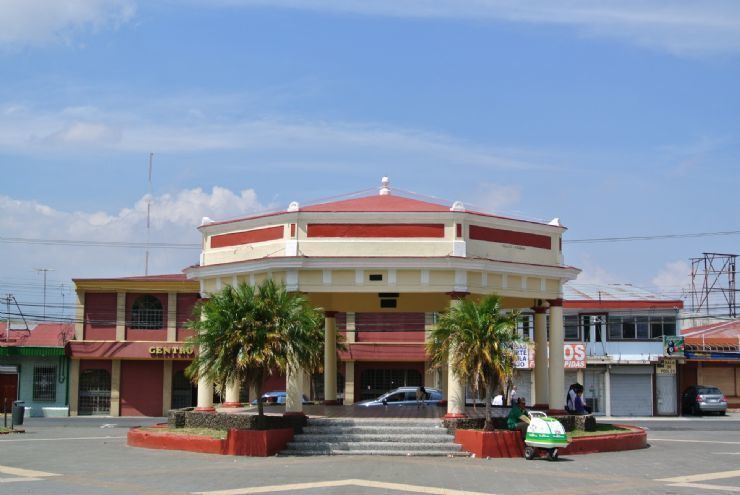
Farmer s market san jose costa rica green market guadalupe costa rica
Guadalupe is a suburb of Costa Rica, the capital of the Goicoechea Canton, and now fully incorporated in the Metropolitan Area of San Jose. Located at an altitude of 1,204 meters, Guadalupe is represented as the central district of the canton, with 2.48 km 2 in area, 1 and according to the Census 2011, with a population of 21,013 inhabitants living in 7,004 dwellings.
Contents
- Farmer s market san jose costa rica green market guadalupe costa rica
- Map of San JosC3A9 Guadalupe Costa Rica
- Geography and demography
- References
Map of San Jos%C3%A9, Guadalupe, Costa Rica
Geography and demography
Guadalupe acquired the title of city on August 10, 1920, and since its founding as a district has preserved its land area of 2.48 km 2. The Guadalupe District is one of the seven districts of the Canton of Goicoechea. Despite limited land area, also has borders with the districts of White Street and San Francisco and west, and that of Ipís and Winburg east. In addition, Guadalupe shares northern border with the canton of Moravia in the north, Montes de Oca south, and a small portion with the central county of San Jose to the southwest.