
 | ||
From above grymes hill staten island
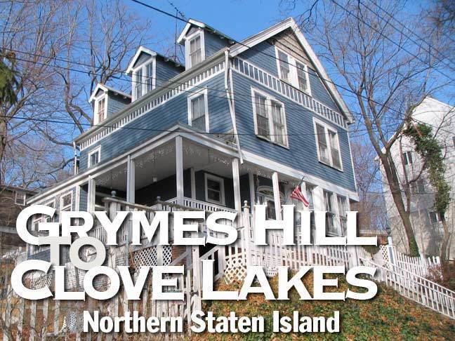
Grymes Hill is a neighborhood, situated upon a hill by that name, on Staten Island, in the U.S. state of New York, one of the five boroughs of New York City.
Contents
- From above grymes hill staten island
- Map of Grymes Hill Staten Island NY 10301 USA
- Etymology
- History
- Places
- References
Map of Grymes Hill, Staten Island, NY 10301, USA
Etymology
The hill is named after Suzette Bosque Grymes, widow of the first governor of Louisiana, William Charles Cole Claiborne, who settled on Staten Island in 1836 (she had remarried a prominent New Orleans lawyer, John R. Grymes, after Governor Claiborne died in 1817).
History
A local developer, Major Charles Howard, built many of the hill's earliest homes, and his name survives in Howard Avenue, the hill's main street; a portion of this street was known for a time as Serpentine Road due to the hill's bedrock consisting of serpentinite. The neighborhood has many fine homes dating from the 1920s that overlook New York Harbor.
Grymes Hill is best noted currently for being the home of two institutions of higher learning: Wagner College, and the Staten Island campus of St. John's University. The St. Johns campus of 16.5 acres (67,000 m2) was originally a small Catholic women's institution, Notre Dame College, which closed in 1971, when St. Johns University took over the campus. Also on the hill is Notre Dame Academy, a Roman Catholic elementary and high school for girls. Adjacent to (and owned by) Wagner College is the site of a former Roman Catholic high school, named Augustinian Academy after the order of monks who ran it; the school closed in 1969. Near the foot of the hill, on Foote Avenue, is P.S. 35, the Clove Valley School. Also located on Grymes Hill is Casa Belvedere, a center for Italian culture and studies in Italian language and culture.
Much of Grymes Hill consists of private homes, but also included are the Grymes Hill Apartments, constructed in the late 1940s by Fred Trump. These are 423 garden apartments along Howard Avenue and Arlo Road. Fred Trump's son, Donald Trump, sold these apartments to an unrelated corporation in 2007. Grymes Hill Manor Estates was built in 1953 as rental garden apartments, and switched to co-op status in 1983. It has 152 apartments centering on Seth Court, with some on other streets. Two high rise apartment buildings at the foot of Howard Avenue converted to condominiums following a major fire in one. There are several apartment buildings on Victory Boulevard. Two new apartment buildings have been constructed facing the Staten Island Expressway. One was turned into condominiums in 2004. The other is being offered as senior citizen housing.
Grymes Hill includes two cemeteries, both located along Victory Boulevard. Woodland Cemetery dates back to the nineteenth century, and some headstones are in German, reflecting the population of the day. Silver Lake Cemetery also dates back to the nineteenth century, and was the original burial site for the Hebrew Free Burial Association.
It is served by the S53, S61, S62, S66, S91, S92 local and limited buses and the X14, X30 express buses.
The Louis A. and Laura Stirn House was listed on the National Register of Historic Places in 2010.
Places
Neighborhoods around Grymes Hill include Ward Hill to the north, Silver Lake to the west, Sunnyside and Emerson Hill to the south, to the southeast is Concord, and Stapleton and Stapleton Heights to the east. The east side of the hill is defined by Van Duzer Street and Richmond Road to the intersection with the Staten Island Expressway, which, with Clove Road, defines the southern side. On the west is Victory Boulevard. Some claim Cebra Avenue for the northern border, while others believe that the border is Louis Street.
Grymes Hill, which offers spectacular views of Lower New York Bay and the Narrows, is the second highest point on Staten Island, reaching its greatest elevation of 310 feet (94 m) above sea level at a point on the Wagner College property behind a parking lot and near the football field. Hero Park, 3 acres (12,000 m2) in size, is located at the intersection of Victory Boulevard and Louis Street, abutting the Notre Dame Academy property. A portion of the extremely steep hillside dropping down from Howard Avenue to Van Duzer Street is protected from development by the Hillside Preservation District. Starting in the mid-19th century, breweries dug caves into the hill to use in the production of beer. Some of these caves off of Van Duzer Street were later incorporated into a popular restaurant, which provided catering for the movie The Godfather during shooting on Staten Island. The restaurant has since closed, and a developer has blocked the caves with a cement wall while building a townhouse complex.