Admin. region Oberfranken Municipal assoc. Grub am Forst Area 11.97 km² Local time Saturday 1:11 AM Dialling code 09560 | Elevation 300 m (1,000 ft) Population 3,078 (31 Dec 2008) Postal code 96271 Administrative region Upper Franconia | |
 | ||
Weather -3°C, Wind NW at 2 km/h, 100% Humidity | ||
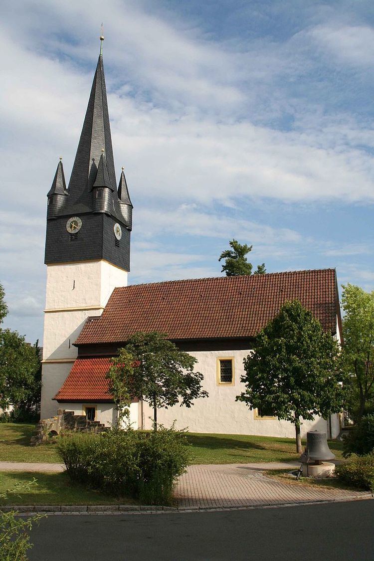
Grub am Forst is a municipality in the district of Coburg in Bavaria in Germany. It has ca 3,100 residents. The nearest large town is Coburg. The following villages are part of it:
Map of 96271 Grub am Forst, Germany
The municipality's political parties are the CSU, SPD, the Freie Wähler and the Wählervereinigung Gut für Grub.
The coat of arms shows a pinophyta in a valley between two hills. It describes the location of Grub am Forst: a village between two hills (Grub/Grube) which is located near to a forest (Forst/Wald).
References
Grub am Forst Wikipedia(Text) CC BY-SA
