
Country United States County Oakland Time zone Eastern (EST) (UTC-5) Population 5,476 (2010) | Elevation 978 ft (298 m) Area code(s) 248 Local time Friday 5:26 PM | |
 | ||
Weather -6°C, Wind NW at 32 km/h, 35% Humidity Points of interest Mt Holly Ski & Snowboa, Michigan Renaissance Festival, Jump Island | ||
Township of Groveland, or Groveland Township, is a civil township of Oakland County in the U.S. state of Michigan. The population was 5,476 at the 2010 census. Groveland Township was established in 1835.
Contents
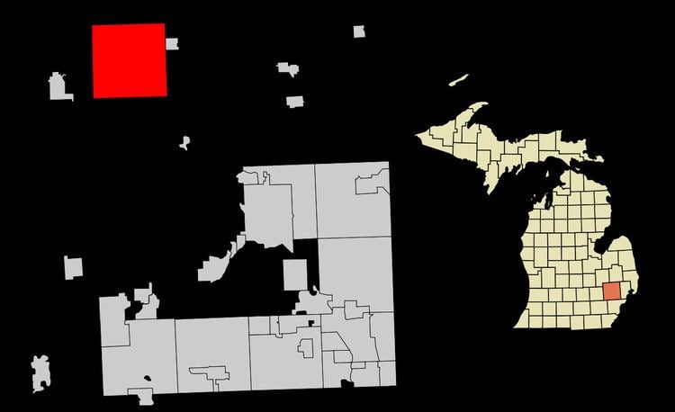
Map of Groveland Township, MI, USA
Communities
There are no incorporated villages in the Township but there are two unincorporated communities within the Township:
Geography
According to the United States Census Bureau, the township has a total area of 36.1 square miles (93 km2), of which 35.5 square miles (92 km2) is land and 0.5 square miles (1.3 km2), or 1.50%, is water.
Demographics
As of the census of 2000, there were 6,150 people, 2,106 households, and 1,714 families residing in the township. The population density was 173.1 per square mile (66.8/km²). There were 2,199 housing units at an average density of 61.9 per square mile (23.9/km²). The racial makeup of the township was 96.70% White, 0.85% African American, 0.31% Native American, 0.54% Asian, 0.46% from other races, and 1.15% from two or more races. Hispanic or Latino of any race were 1.67% of the population.
There were 2,106 households out of which 40.2% had children under the age of 18 living with them, 70.0% were married couples living together, 7.3% had a female householder with no husband present, and 18.6% were non-families. 13.2% of all households were made up of individuals and 2.3% had someone living alone who was 65 years of age or older. The average household size was 2.91 and the average family size was 3.17.
In the township the population was spread out with 27.6% under the age of 18, 8.3% from 18 to 24, 31.1% from 25 to 44, 27.9% from 45 to 64, and 5.2% who were 65 years of age or older. The median age was 36 years. For every 100 females there were 105.2 males. For every 100 females age 18 and over, there were 103.5 males.
The median income for a household in the township was $72,188, and the median income for a family was $83,789. Males had a median income of $61,436 versus $26,414 for females. The per capita income for the township was $28,574. About 4.7% of families and 8.3% of the population were below the poverty line, including 14.5% of those under age 18 and 8.1% of those age 65 or over.