
Architect Multiple Area 20 ha | NRHP Reference # 83001287 Added to NRHP 24 March 1983 | |
 | ||
Architectural style Mixed (more than 2 styles from different periods) | ||
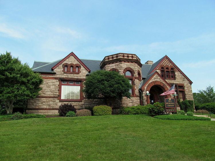
The Groton Bank Historic District, also known as Groton Heights, is a 50-acre (20 ha) historic district located in the City of Groton (within the Town of Groton) in Connecticut. The district was added to the National Register of Historic Places on March 24, 1983.
The district has an inverted U-shape (formed by Thames, Broad, and Monument streets) and its boundaries are based on an 1868 map, to include an area developed mostly during 1820-1860. The Major Noyes Barber house, built in 1810, is a Federal style structure. The district encompasses a well-preserved neighborhood that grew in the 18th and 19th centuries, originally as a shipbuilding center, and contains a representative cross-section of architectural styles from its periods of growth.