
Postcode(s) 4871 Local time Saturday 3:31 AM | Groganville Hurricane Postal code 4871 | |
 | ||
Weather 22°C, Wind E at 11 km/h, 89% Humidity | ||
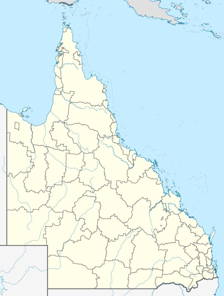
Groganville is a locality in northern Queensland, Australia. It is within the local government area of Shire of Mareeba (between 2008 and 2013, it was within the Tablelands Region). It was formerly a mining town and now has a very low population.
Contents
Map of Groganville QLD 4892, Australia
History
The name Groganville is derived from Patrick Grogan, who operated a shop in the town in the 1890s.
Heritage listings
Groganville has a number of heritage-listed sites, including:
References
Groganville, Queensland Wikipedia(Text) CC BY-SA