
Established 1936 Area code 054 | Municipality !Kheis Postal code (street) 8850 PO box 8850 | |
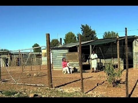 | ||
Groblershoop is a settlement in ZF Mgcawu District Municipality in the Northern Cape province of South Africa. It is situated about 2 km east of the Orange River.
Map of Groblershoop, South Africa
Groblershoop was founded in 1914 on the farm Sternham, but was renamed in 1939 after Piet Grobler, a former Minister of Agriculture. The region became more developed after the construction of the Boegoeberg Dam and water channels in 1929. Known as the gateway to the Green Kalahari, the Groblershoop region is a major wine-producing area.
References
Groblershoop Wikipedia(Text) CC BY-SA