
Prominence c. 33 m (108 ft) Topo map OS Landranger 102 | OS grid SD557588 Elevation 468 m | |
 | ||
Location Forest of Bowland, England Similar Clougha Pike, Wolfhole Crag, Hawthornthwaite Fell, White Hill, Green Hill | ||
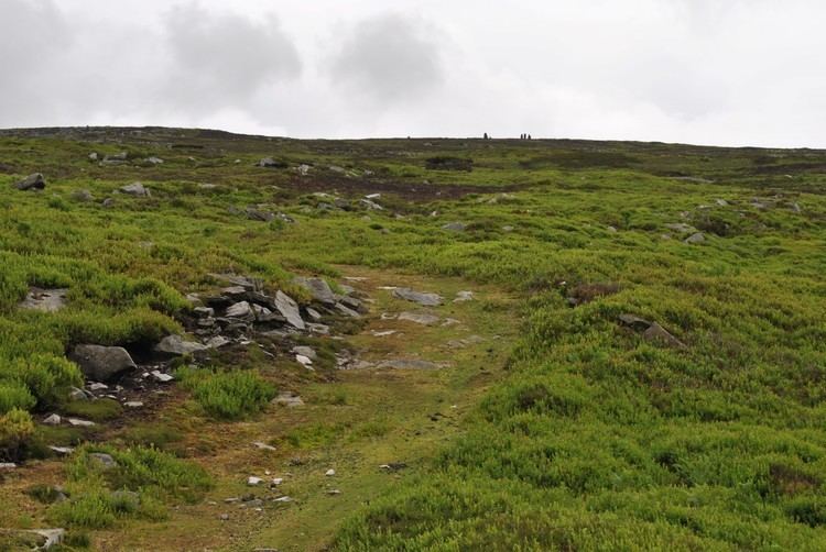
Grit Fell is a lonely hill between Clougha Pike and Ward's Stone in the Forest of Bowland in Lancashire, England. Covered by heather and large bogs, it is difficult walking country. The path from Jubilee Tower car park in the south is difficult and treacherous, with sheer-sided bogs 6 feet (1.83 m) deep. The path from Clougha Pike in the west is better, but still contains bogs crossed by the odd plank of wood. The path from Ward's Stone is the most treacherous of all. Crossing Cabin Flat, it weaves its way across hidden pools of stagnant water, the presence of which is betrayed by a form of red grass.
Map of Grit Fell, Lancaster, UK
The summit is fairly inconspicuous, with only cairns and a wall.
References
Grit Fell Wikipedia(Text) CC BY-SA