
Highest elevation 118 m (387 ft) Elevation 118 m | Highest point Hiåsen Municipality Aure Area 13.9 km² | |
 | ||
Location | ||
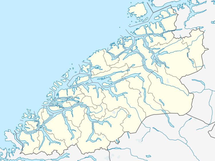
Grisvågøya is an island in Aure Municipality in Møre og Romsdal county, Norway. The 13.9-square-kilometre (5.4 sq mi) island is located on the south side of the Edøyfjorden/Trondheimsleia. There are many islands around Grisvågøya including Skardsøya to the east, Ertvågsøya to the south, Edøya and Smøla to the west, and Hitra across the fjord to the north. The sparsely populated island of Grisvågøya has a bridge connecting it to Skardsøya to the east which has two different bridges that connect it to the mainland.
Map of Grisv%C3%A5g%C3%B8ya, 6698 Lesund, Norway
References
Grisvågøya Wikipedia(Text) CC BY-SA