
OS grid reference TA279353 Sovereign state United Kingdom Postcode district HU11 Dialling code 01964 | Post town HULL Local time Friday 2:54 PM | |
 | ||
Weather 11°C, Wind S at 18 km/h, 81% Humidity | ||
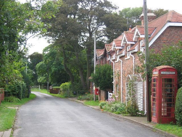
Grimston is a hamlet in the East Riding of Yorkshire, England, in an area known as Holderness. It is situated approximately 6 miles (9.7 km) north-west of Withernsea town centre.
Map of Grimston, Hull, UK
Grimston lies east of the B1242 road near to the North Sea coast and forms part of the civil parish of East Garton.
The stable block at Grimston Garth was designated a Grade II* listed building in 1966 and is now recorded in the National Heritage List for England, maintained by Historic England.
References
Grimston, East Riding of Yorkshire Wikipedia(Text) CC BY-SA