
OS grid reference SE760355 Sovereign state United Kingdom Postcode district DN14 Dialling code 01757 | Post town GOOLE Local time Friday 12:31 PM | |
 | ||
Weather 11°C, Wind S at 14 km/h, 76% Humidity | ||
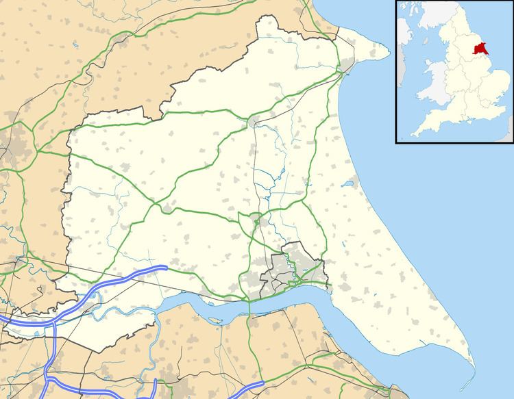
Gribthorpe is a hamlet in the East Riding of Yorkshire, England. It is situated approximately 8 miles (13 km) north-east of Selby and 5 miles (8 km) north of Howden.
Map of Gribthorpe, Goole, UK
Gribthorpe forms part of the civil parish of Foggathorpe.
In 1823 Gribthorpe (also known as Gripthorpe), was in the civil parish of Bubwith and the Wapentake of Harthill. Population at the time, which included Willitoft, was 145, with occupations including four farmers.
References
Gribthorpe Wikipedia(Text) CC BY-SA