
- location below Muddy Saddle - location Grey River (town) | - elevation 491 m (1,611 ft) - elevation 0 m (0 ft) Mouth Bass Strait | |
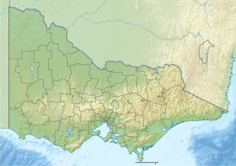 | ||
The Grey River is a perennial river of the Corangamite catchment, located in The Otways region of the Australian state of Victoria.
Contents
Map of Grey River, Victoria, Australia
Location and featuresEdit
The Grey River rises in the Otway Ranges in southwest Victoria and flows generally east by south towards the town of Grey River where the river reaches its mouth and empties into Addis Bay, part of Bass Strait, north of Cape Otway. From its highest point, the river descends 491 metres (1,611 ft) over its 9-kilometre (5.6 mi) course.
References
Grey River (Victoria) Wikipedia(Text) CC BY-SA