Time zone MST (UTC-7) Local time Thursday 10:29 PM | Founded c. 1885 Elevation 1,506 m | |
 | ||
Weather -10°C, Wind E at 8 km/h, 97% Humidity | ||
Greenwood (Dakota: čha-phežŋ; "wood [of] grass"), also known as Laflin, (c. 1885-after 1912), is a ghost town in Lawrence County, South Dakota, United States.
Contents
Map of Greenwood, SD 57759, USA
History
Greenwood was founded around 1885 and was known for its mine. The town got its name from the green trees in the area. It included a store, school, stage barn, blacksmith, post office, livery stable, and boarding house. The mine was known for its gold production, though apparently, the mine turned no profit and only covered the cost of operations. Robert Flormann helped to promote the mine and became very wealthy. In 1912, the mine caught fire, and Flormann fell to his death while trying to rescue a survivor. In 1971, the last standing house in Greenwood was torn down. The foundations and the mine are all that remain.
Geography
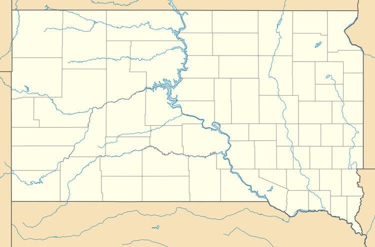
Greenwood is located in the Black Hills in Lawrence County, South Dakota, United States at the coordinates 44.2202633°N 103.5615803°W / 44.2202633; -103.5615803. It is southwest of Boxelder Creek and the Black Hills & Fort Pierre Railroad.
