
ZIP code 21215, 21209 Area 58 ha | Time zone Eastern (UTC-5) Population 4,030 (2009) | |
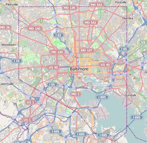 | ||
Greenspring is a neighborhood in the North District of Baltimore, located between the neighborhoods of Woodberry (east) and Central Park Heights (west). Its boundaries are marked by West Cold Spring Lane (north), Greenspring Avenue (east), and Springhill Avenue (south). The western edge of the neighborhood runs along Pimlico Road from West Cold Spring Lane to Park Heights Avenue, then along Park Heights Avenue to Springhill Avenue.
Contents
Map of Greenspring, Baltimore, MD, USA
Demographics
Greenspring's population is predominantly (97.5%) black. Median household income for the neighborhood was estimated at $26,828 for 2009, which was significantly less than the city median of $38,772.
Public transportation
References
Greenspring, Baltimore Wikipedia(Text) CC BY-SA