
Country United States GNIS feature ID 453354 Local time Thursday 10:54 PM | FIPS code 18-29736 Elevation 365 m Population 1,082 (2010) | |
 | ||
Weather 4°C, Wind N at 19 km/h, 70% Humidity Area 119.4 km² (119.2 km² Land / 13 ha Water) | ||
Greensfork Township is one of eleven townships in Randolph County, Indiana. As of the 2010 census, its population was 1,082 and it contained 469 housing units.
Contents
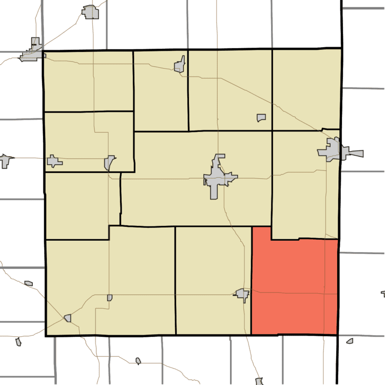
Map of Greensfork Township, IN, USA
Greensfork Township was organized in 1818.
Geography
According to the 2010 census, the township has a total area of 46.09 square miles (119.4 km2), of which 46.04 square miles (119.2 km2) (or 99.89%) is land and 0.05 square miles (0.13 km2) (or 0.11%) is water.
References
Greensfork Township, Randolph County, Indiana Wikipedia(Text) CC BY-SA