
Country United States County Brown Time zone Central (CST) (UTC-6) Elevation 217 m Local time Thursday 9:15 PM Area code 920 | GNIS feature ID 1565848 Area 2.699 km² Population 607 (2010) | |
 | ||
Weather -1°C, Wind W at 14 km/h, 39% Humidity | ||
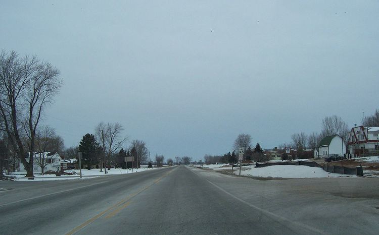
Greenleaf is an unincorporated census-designated place in Brown County, Wisconsin, United States, in the town of Wrightstown. As of the 2010 census it had a population of 607.
Contents
Map of Greenleaf, WI 54126, USA
Geography
It is located at the intersection of Wisconsin Highways 57/32 and 96. It uses ZIP code 54126. Greenleaf has an area of 1.042 square miles (2.70 km2), all of it land. The community is part of the Green Bay Metropolitan Statistical Area.
References
Greenleaf, Wisconsin Wikipedia(Text) CC BY-SA