
Type Road | ||
 | ||
Route number(s) a21
(Dulwich – Wayville) East end West Terrace, Balhannah West end Anzac Highway, Keswick, Adelaide Major suburbs Carey Gully, Uraidla, Summertown, Greenhill, Burnside, Hazelwood Park, Linden Park, Tusmore, Toorak Gardens, Dulwich, Glenside Major cities Uraidla, Summertown, Carey Gully Via Carey Gully, Uraidla, Summertown, Greenhill, Burnside | ||
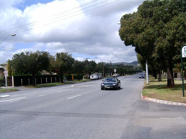
Greenhill Road is a major road in Adelaide, South Australia, that provides a vital transport artery for those living in the eastern and hills suburbs. In Adelaide's early days, trams used to run up and down the road. A resident of Burnside can usually expect to take 15 minutes to reach the CBD in peak times, and around ten minutes in others.
Map of Greenhill Rd, South Australia, Australia
Greenhill Road starts in Balhannah in the Adelaide Hills and winds through Carey Gully, Uraidla, Summertown and Greenhill as a two-lane road.
Once it enters the metropolitan area, it expands to four lanes and passes by the City of Burnside suburbs of Burnside, Hazelwood Park, Linden Park, Tusmore, Toorak Gardens, Dulwich and Glenside until it reaches the edge of the Adelaide Parklands. The road then expands to six lanes and heads past Eastwood and the City of Unley suburbs of Parkside, Unley and Wayville as part of the city "ring". This section was originally designated "Park Terrace".
Greenhill Road becomes Richmond Road at the intersection of Anzac Highway.
Eleven people died on Greenhill Road during the Ash Wednesday fires of 1983.