
GNIS feature ID 0453344 Area 86.69 km² Zip code 46151 | Time zone Eastern (EST) (UTC-5) Elevation 214 m Population 3,520 (2010) Local time Thursday 7:01 PM | |
 | ||
Weather 16°C, Wind N at 14 km/h, 43% Humidity | ||
Green Township is one of fourteen townships in Morgan County, Indiana, United States. As of the 2010 census, its population was 3,520 and it contained 1,317 housing units.
Contents
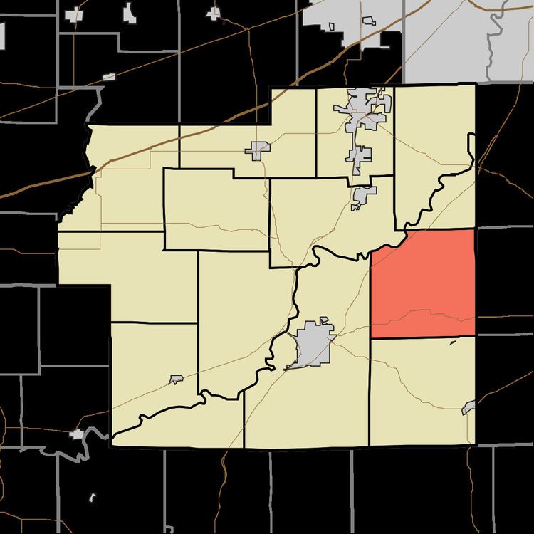
- Map of Green Township IN USA
- Geography
- Unincorporated towns
- Cemeteries
- Major highways
- Airports and landing strips
- School districts
- Political districts
- References
Map of Green Township, IN, USA
Geography
According to the 2010 census, the township has a total area of 33.47 square miles (86.7 km2), of which 33.15 square miles (85.9 km2) (or 99.04%) is land and 0.32 square miles (0.83 km2) (or 0.96%) is water.
Unincorporated towns
(This list is based on USGS data and may include former settlements.)
Cemeteries
The township contains these six cemeteries: Brian, Centennial Church, Flake, Scroggins, Thompson and Williams.
Major highways
Airports and landing strips
School districts
Political districts
References
Green Township, Morgan County, Indiana Wikipedia(Text) CC BY-SA