
Year first constructed 1883 Construction cast irontower | Foundation concrete basement | |
 | ||
Tower shape cylindrical tower with balcony and lantern Markings / pattern white and red horizontal bands, white lantern | ||
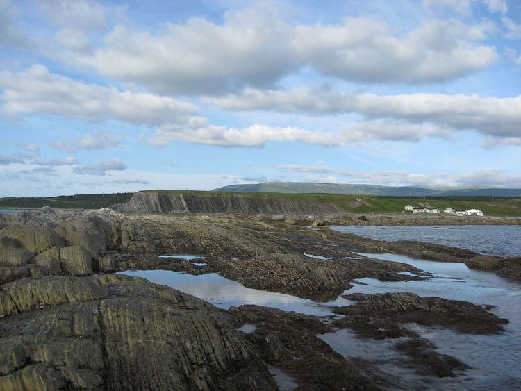
Green Point is located 12 km north of the town of Rocky Harbour in Gros Morne National Park, on the west coast of Newfoundland. It is the home to a small summer fishing community and a drive-in campground. In 2000, Green Point was designated the Global Stratotype Section and Point (GSSP) representing the division between the Cambrian and the Ordovician systems.
Contents
Geology
In 2000, the cliffs at Green Point were approved as the Global Stratotype Section and Point for the base of the Ordovician system by the International Union of Geological Sciences. The boundary is a section 60m thick composed of layers of shale and limestone with overturned beds dipping 60-70 degrees to the South East. It is marked by the first appearance of Iapetognathus fluctivagus, a conodont fossil, 4.8m below the earliest known planktic graptolite fossil, Rhabdinopora praeparabola.
The shales represent a 30 million year record of deep-ocean sediments laid in a base-of-slope environment in the Iapetus Ocean. The limestone layers indicate periodic avalanches from the shallower waters. Portions of the same limestone avalanches that came to rest further up the coastal slopes are featured at Cow Head. There, the individual rocks in the limestone conglomerate are much larger.
Campground
There are 31 drive-in campsites at Green Point.