
Population 165 (2011) Sovereign state United Kingdom Dialling code 017683 | OS grid reference NY767135 Post town KIRKBY STEPHEN | |
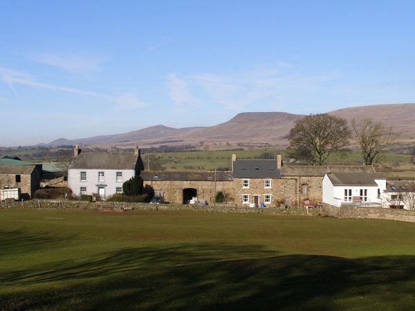 | ||
Great Musgrave is a village in the Eden district of Cumbria, England. It is about a mile west of Brough.
Map of Great Musgrave, Kirkby Stephen, UK
Great Musgrave sits atop a hill near the river Eden and Swindale Beck. Its location provides views over the vale of Eden and the nearby northern Pennines. The village name comes from the Musgrave family who lived here. The civil parish includes Little Musgrave and is called Musgrave. The population of this civil parish taken at the 2011 census was 165.
The village was served by Musgrave railway station which opened in 1862 and closed in 1952.
The stone church of St Theobald, on the edge of the village, dates from 1845–46, but two earlier churches (the first dating back to the 12th century) stood nearby. Unfortunately they were placed too close to the river and were subject to floodingin 1822 the water was 3 feet (0.9 m) deep in the church.
Leading up to the present church with its slate roof is a row of horse chestnut trees. The square church tower contains two bells. The interior has one small stained glass window, a 13th-century coffin lid, a brass of a priest dated 1500 and carved heads on the roof beam corbels above the windows.
The church has an annual rush bearing ceremony on the first Saturday in July. Girls wear garlands of flowers, and boys carry rush crosses in a procession through the village and to the church where a service of praise and thanksgiving is then held.