
OS grid reference SE812537 Sovereign state United Kingdom Postcode district YO42 Dialling code 01759 | Post town YORK Local time Thursday 9:52 AM | |
 | ||
Weather 9°C, Wind W at 32 km/h, 64% Humidity Civil parish Millington, East Riding of Yorkshire | ||
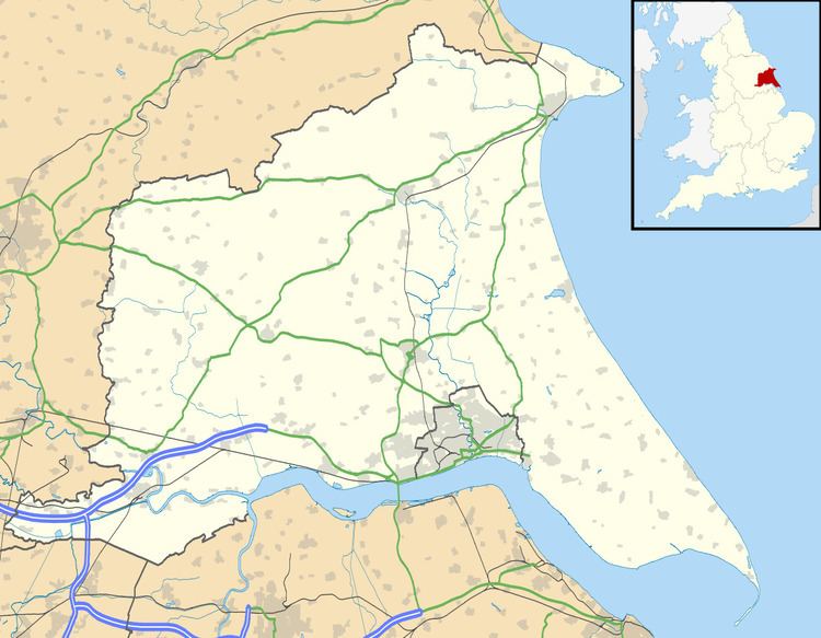
Great Givendale is a hamlet in the East Riding of Yorkshire, England. It is situated approximately 3 miles (5 km) north of Pocklington.
Map of Great Givendale, York, UK
Great Givendale forms part of the civil parish of Millington.
The church, dedicated to Saint Ethelburgh, was designated a Grade II* listed building in 1967 and is now recorded in the National Heritage List for England, maintained by Historic England.
The Minster Way and Chalkland Way long distance footpaths pass through the main street of the village.
There is also a scout camp located near the hamlet, which is a green field campsite.
In 1823 Great Givendale was a village and civil parish, in the Wapentake of Harthill and the Liberty of St Peter's, that included the settlement of Little Givendale. The church was under the patronage of the Dean of York. Parish population at the time was 60, which included four farmers and a gentleman.