
OS grid reference TA230427 Sovereign state United Kingdom Postcode district HU11 Dialling code 01964 | Post town HULL Local time Thursday 9:02 AM | |
 | ||
Weather 10°C, Wind W at 29 km/h, 80% Humidity | ||
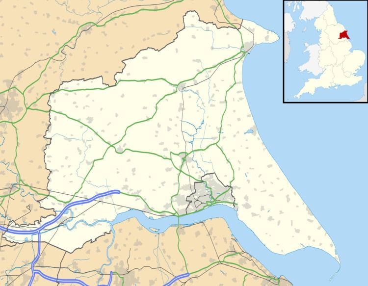
Great Cowden is a hamlet in the East Riding of Yorkshire, England, in an area known as Holderness. It is situated approximately 3 miles (5 km) south of Hornsea and lies just east of the B1242 road on the North Sea coast.
Map of Great Cowden, Hull, UK
Great Cowden forms part of the civil parish of Mappleton.
In 1823 Cowden (as Great and Little Cowden) was also known as 'Coldon', and was in the parish of Mappleton. The parish incumbent's living was under the patronage of the King, although at the time the parish church had been swallowed by the sea. Population was 146, with occupations including eleven farmers.
References
Great Cowden Wikipedia(Text) CC BY-SA