Country United States GNIS feature ID 1121336 Local time Wednesday 8:34 PM | Time zone Pacific (PST) (UTC-8) Elevation 17 m | |
 | ||
Weather 12°C, Wind S at 14 km/h, 90% Humidity | ||
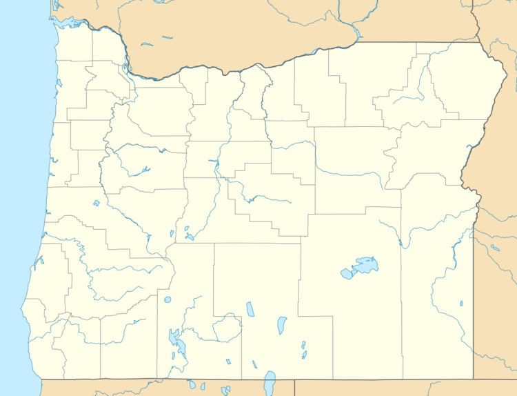
Gravelford is an unincorporated community in Coos County, Oregon, United States. It is about 8 miles (13 km) northeast of Myrtle Point, at the confluence of the North Fork Coquille River and the East Fork Coquille River.
Map of Gravelford, OR 97458, USA
The name of the community came from a natural ford in the stream. A post office with the name Gravel Ford was established in 1878 with Solomon J. McCloskey the first postmaster. Post office records always used the two-word spelling, but post office route maps and USGS topographical maps use the one-word spelling. The office closed in 1934, with mail going to Myrtle Point.
In 1915, Gravelford had two cheese factories, two churches, an Adventist academy, and a public school. As of 1990, only two houses remained of the town. Gravelford's volunteer fire department is a satellite station of Myrtle Point. Gravelford Cemetery was founded in 1884.
