
Topo map USGS Carvers Gap Elevation 1,879 m | Easiest route Hike Prominence 210 m | |
 | ||
Parent ranges Unaka Range, Blue Ridge Mountains Similar Roan Mountain, Little Hump Mountain, Celo Knob, Big Yellow Mountain, Old Black | ||
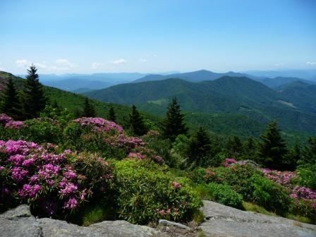
Grassy Ridge Bald is a mountain in North Carolina and is part of the Roan Highlands, within the Pisgah National Forest. Its elevation reaches 6,165 feet (1,879 m) and it is on the border between Avery (highest point) and Mitchell counties. The mountain generates feeder streams for the North Toe River.
Map of Grassy Ridge Bald, Fork Mountain-Little Rock Creek, NC 28705, USA
References
Grassy Ridge Bald Wikipedia(Text) CC BY-SA