
Country United States Time zone Pacific (PST) (UTC-8) Elevation 1,481 m | Area code(s) 530 Local time Saturday 9:01 AM | |
 | ||
Weather 7°C, Wind S at 11 km/h, 83% Humidity | ||
Grass Flat is an unincorporated community and ghost town in northwestern Sierra County, California, United States.
Contents
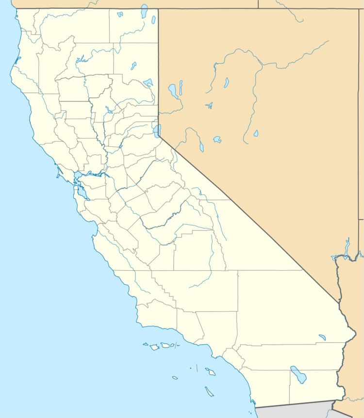
Map of Grass Flat, CA, USA
Geography
Grass Flat is on Port Wine Ridge Road in the Sierra Nevada, within Plumas National Forest.
The site is 5.5 miles (8.9 km) southwest of Mount Fillmore.
History
Grass Flat was established as a gold mining camp during the California Gold Rush (1848-1850s), in the far northern Northern Mines District.
The scarred landscapes from hydraulic mining during the gold rush, at Grass Flat and nearby, remain primarily barren of vegetation over 160 years later. Ponds fill the depressions formed by the hydraulic surface mining technique.
References
Grass Flat, California Wikipedia(Text) CC BY-SA