
County Jefferson FIPS code 20-20087 Elevation 267 m Local time Saturday 8:46 AM | Time zone Central (CST) (UTC-6) GNIS feature ID 478665 Zip code 66429 Area code 785 | |
 | ||
Weather 4°C, Wind N at 6 km/h, 77% Humidity | ||
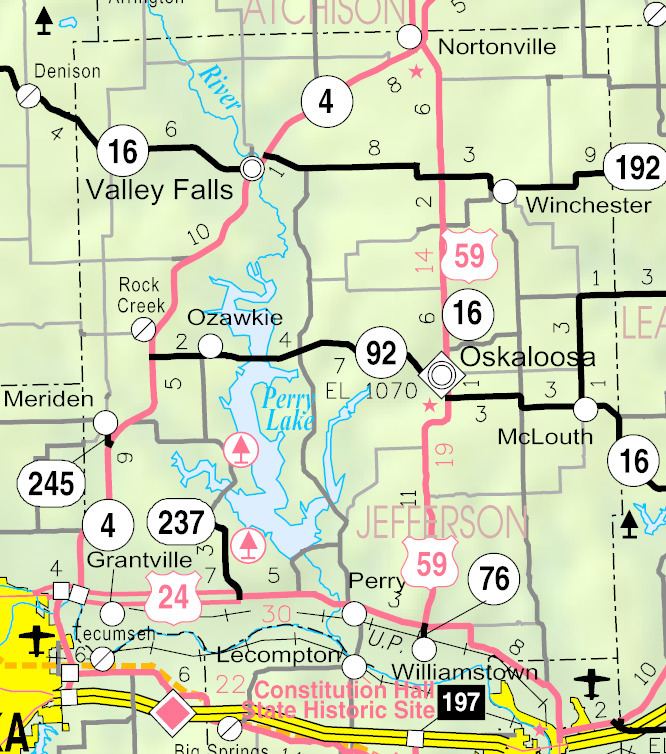
Grantville is an unincorporated census-designated place in southwestern Jefferson County, Kansas, United States, northeast of Topeka.
Contents
Map of Grantville, KS, USA
History
Grantville was named in 1866 for Ulysses S. Grant, military commander in the Civil War and afterward 18th President of the United States.
The first post office in Grantville was established in October 1866.
Geography
Grantville is located at 39°05′00″N 95°33′41″W (39.083333, -95.561367), off U.S. Route 24. It lies 876 feet (267 m) above sea level.
Climate
The climate in this area is characterized by hot, humid summers and generally mild to cool winters. According to the Köppen Climate Classification system, Grantville has a humid subtropical climate, abbreviated "Cfa" on climate maps.
Economy
Grantville has a fire station, a restaurant, a gas station and a few other local business. It also has a post office with the ZIP Code of 66429.
Education
Grantville is served by Perry-Lecompton Unified School District 343. The elementary school in Grantville closed in 2009 and children are now bused to schools in Perry and Lecompton.