
Country United States GNIS feature ID 0467937 Area 92.8 km² Population 331 (2010) | Time zone CST (UTC-6) Elevation 366 m Local time Saturday 8:19 AM | |
 | ||
ZIP codes 50041, 50126, 50441, 50601, 50633 Weather 1°C, Wind NW at 29 km/h, 83% Humidity | ||
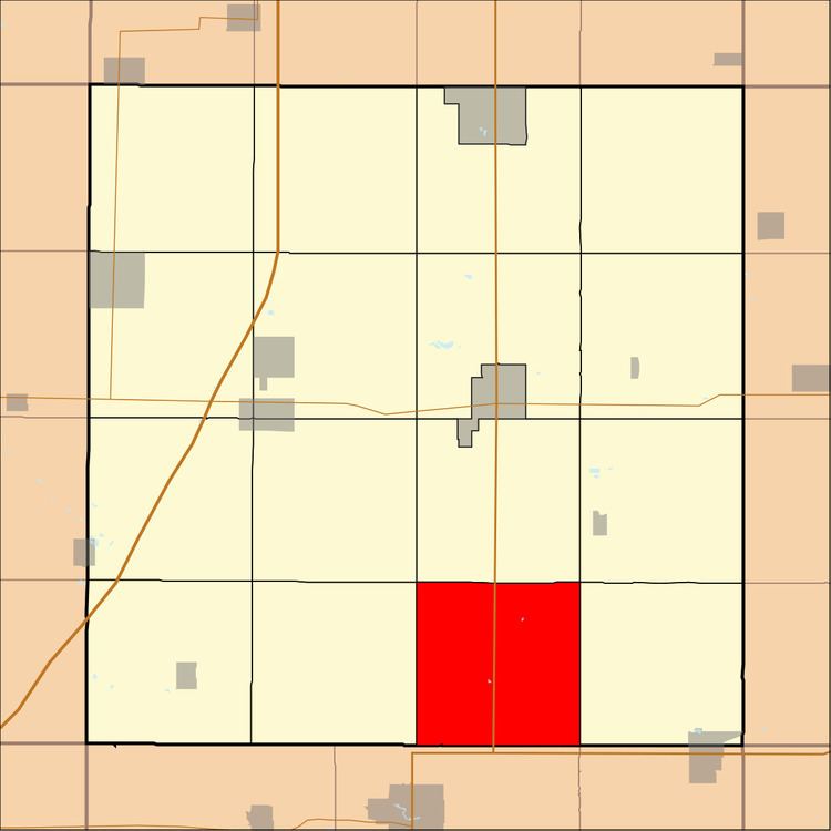
Grant Township is one of sixteen townships in Franklin County, Iowa, United States. As of the 2010 census, its population was 331 and it contained 154 housing units.
Contents
- Map of Grant IA USA
- History
- Geography
- Cities towns villages
- Cemeteries
- Transportation
- School districts
- Political districts
- References
Map of Grant, IA, USA
History
Grant Township was created in 1870.
Geography
As of the 2010 census, Grant Township covered an area of 35.83 square miles (92.8 km2), all land.
Cities, towns, villages
Cemeteries
The township contains Pleasant Hill Cemetery and Saint Peters Evangelical Cemetery.
Transportation
School districts
Political districts
References
Grant Township, Franklin County, Iowa Wikipedia(Text) CC BY-SA