
Country United States FIPS code 38-32580 Elevation 528 m Local time Saturday 7:44 AM Area code 701 | Time zone Central (CST) (UTC-6) GNIS feature ID 1029212 Area 80 ha Population 7 (2013) | |
 | ||
Weather -7°C, Wind SE at 13 km/h, 93% Humidity | ||
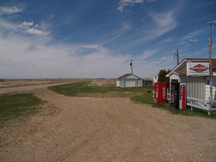
Grano is a city in Renville County, North Dakota, United States. The population was seven at the 2010 Census, tying Bergen as the second least populous incorporated place in North Dakota (Ruso was the least populous).
Contents
Map of Grano, ND 58750, USA
Grano was founded in 1905 along the Soo Line Railroad branch line running east from Kenmare across the northern portion of North Dakota. Several unconfirmed explanations exist regarding how the town got its name.
It is part of the Minot Micropolitan Statistical Area.
Geography
Grano is located at 48°36′57″N 101°35′15″W (48.615698, -101.587365).
According to the United States Census Bureau, the city has a total area of 0.30 square miles (0.78 km2), all of it land.
2010 census
As of the census of 2010, there were 7 people, 3 households, and 3 families residing in the city. The population density was 23.3 inhabitants per square mile (9.0/km2). There were 3 housing units at an average density of 10.0 per square mile (3.9/km2). The racial makeup of the city was 100.0% White.
There were 3 households of which 100.0% were married couples living together. 0.0% of all households were made up of individuals. The average household size was 2.33 and the average family size was 2.33.
The median age in the city was 52.3 years. 0.0% of residents were under the age of 18; 0.0% were between the ages of 18 and 24; 14.3% were from 25 to 44; 85.7% were from 45 to 64; and 0.0% were 65 years of age or older. The gender makeup of the city was 57.1% male and 42.9% female.
2000 census
As of the census of 2000, there were 9 people, 5 households, and 3 families residing in the city. The population density was 30.2 people per square mile (11.6/km²). There were 5 housing units at an average density of 16.8 per square mile (6.4/km²). The racial makeup of the city was 100.00% White.
There were 5 households out of which three were married couples living together, and two were non-families. Two households were made up of individuals who were 65 years of age or older. The average household size was 1.80 and the average family size was 2.33.
In the city, the population was spread out with 11.1% from 18 to 24, 44.4% from 25 to 44, and 44.4% of people aged 45 to 64. The median age was 44 years. For every five females there were four males. For every five females age 18 and over, there were four males.
The median income for a household in the city was $16,250, and the median income for a family was $0. Males had a median income of $0 versus $16,250 for females. The per capita income for the city was $15,000. None of the population and none of the families were below the poverty line.