
State Ceará Time zone AST (UTC-3) Area 2,697 km² Population 53,486 (2008) | Founded 1776 HDI (2000) 0.554 – medium Elevation 10 m Local time Saturday 9:36 AM | |
 | ||
Weather 28°C, Wind E at 13 km/h, 74% Humidity | ||
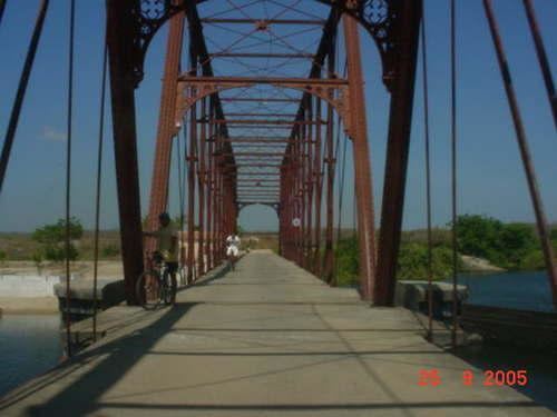
Granja is the westernmost municipality in the Brazilian state of Ceará.
Map of Granja - Cear%C3%A1, Brazil
The municipality contains part of the 1,592,550 hectares (3,935,300 acres) Serra da Ibiapaba Environmental Protection Area, created in 1996.
References
Granja, Ceará Wikipedia(Text) CC BY-SA