
Country United States Elevation 919 ft (280 m) Area code(s) 320 Population 2,806 (2013) | State Minnesota Time zone Central (CST) (UTC-6) Zip code 56241 Local time Saturday 7:14 AM | |
 | ||
Weather -1°C, Wind NW at 21 km/h, 85% Humidity University Minnesota West Community & Technical College | ||
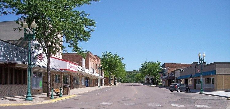
Granite Falls is a city in Chippewa, Renville and Yellow Medicine counties in the State of Minnesota. The population was 2,897 at the 2010 census. It is the county seat of Yellow Medicine County. The Andrew John Volstead House, a National Historic Landmark, is located in Granite Falls.
Contents
- Map of Granite Falls MN 56241 USA
- History
- Granite Falls 2000 tornado
- Geography
- Climate
- 2010 census
- 2000 census
- References
Map of Granite Falls, MN 56241, USA
History
Granite Falls was platted in 1872. The city was named for deposits of granite rock in the area. A post office has been in operation at Granite Falls since 1870. Granite Falls was incorporated as a city in 1889.
Granite Falls 2000 tornado
On July 25, 2000, the city of Granite Falls and Yellow Medicine County were hit by a powerful tornado. The tornado first touched down in rural parts of the county west-northwest of Granite Falls, hitting the city at 6:10 pm. After tearing through the residential sections of town, the tornado lifted at approximately 6:25PM after being on the ground for over nine miles. One person was killed, more than a dozen were injured, and the town and surrounding area suffered millions of dollars in property damage.
While the damage in Granite Falls was generally limited to that of F-2 and F-3 storms, the extent of the damage at the corner of 9th Avenue and 14th Street caused the National Weather Service to classify it as an F-4 storm.
Geography
According to the United States Census Bureau, the city has a total area of 3.82 square miles (9.89 km2); 3.59 square miles (9.30 km2) is land and 0.23 square miles (0.60 km2) is water.
U.S. Highway 212 and Minnesota State Highways 23 and 67 are three of the main routes in the city.
Climate
Granite Falls, along with the rest of Minnesota, has a humid continental climate with significant differences between seasons. With a July mean temperature of 22.2 °C (72.0 °F) Granite Falls just falls into the hot-summer zone of the Köppen classification of the humid continental climate regime. Winters are cold and dry influenced by arctic air masses affecting it through its continental position, while summers are influenced by humid subtropical air masses bringing hot temperatures and significant rainfall. Transitional periods are very short, since only April and October are between 0 °C (32 °F) and 10 °C (50 °F) in daily mean temperatures, with May–September being clearly above and November–March averaging below freezing. The middle three months in each of those cycles are also clearly warmer and colder, respectively, than the months at the beginning or at the end of transitional periods. That is in turn a typical feature of continental climates.
2010 census
As of the census of 2010, there were 2,897 people, 1,282 households, and 747 families residing in the city. The population density was 807.0 inhabitants per square mile (311.6/km2). There were 1,417 housing units at an average density of 394.7 per square mile (152.4/km2). The racial makeup of the city was 89.9% White, 0.6% African American, 5.2% Native American, 0.4% Asian, 1.8% from other races, and 2.1% from two or more races. Hispanic or Latino of any race were 4.7% of the population.
There were 1,282 households of which 25.7% had children under the age of 18 living with them, 44.1% were married couples living together, 10.1% had a female householder with no husband present, 4.1% had a male householder with no wife present, and 41.7% were non-families. 37.2% of all households were made up of individuals and 17.2% had someone living alone who was 65 years of age or older. The average household size was 2.17 and the average family size was 2.82.
The median age in the city was 43 years. 21.5% of residents were under the age of 18; 8.8% were between the ages of 18 and 24; 22.3% were from 25 to 44; 26.9% were from 45 to 64; and 20.7% were 65 years of age or older. The gender makeup of the city was 48.4% male and 51.6% female.
2000 census
As of the census of 2000, there were 3,070 people, 1,344 households, and 806 families residing in the city. The population density was 890.5 people per square mile (343.6/km²). There were 1,472 housing units at an average density of 427.0 per square mile (164.7/km²). The racial makeup of the city was 92.35% White, 0.07% African American, 5.70% Native American, 0.16% Asian, 0.42% from other races, and 1.30% from two or more races. Hispanic or Latino of any race were 2.15% of the population.
There were 1,344 households out of which 27.7% had children under the age of 18 living with them, 50.5% were married couples living together, 7.7% had a female householder with no husband present, and 40.0% were non-families. 35.0% of all households were made up of individuals and 18.5% had someone living alone who was 65 years of age or older. The average household size was 2.24 and the average family size was 2.91.
In the city, the population was spread out with 24.1% under the age of 18, 7.9% from 18 to 24, 24.1% from 25 to 44, 22.0% from 45 to 64, and 21.8% who were 65 years of age or older. The median age was 41 years. For every 100 females there were 86.1 males. For every 100 females age 18 and over, there were 81.2 males.
The median income for a household in the city was $32,031, and the median income for a family was $45,536. Males had a median income of $32,905 versus $22,957 for females. The per capita income for the city was $18,356. About 6.6% of families and 9.7% of the population were below the poverty line, including 6.8% of those under age 18 and 10.6% of those age 65 or over.