
Location Africa Area rank ~11th Highest point Mount Benara Elevation 660 m Peak Benara | Archipelago Comoros Island Highest elevation 660 m (2,170 ft) Area 368 km² Island group Comoro Islands | |
 | ||
Largest settlement Mamoudzou (pop. 53,022 (2009)
186,452) Destinations Mamoudzou, Mtsamboro, Kaweni, Bandrélé, Koungou Points of interest Pointe Mahabou, Tahiti plage, Mtsanga Beach, Benara | ||
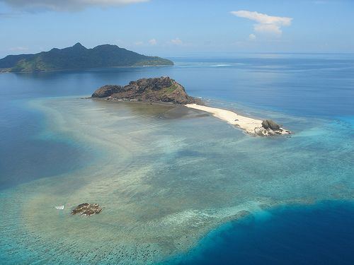
Grande-Terre (or Maore) is the main island of the French overseas region of Mayotte. The island is located in the northern Mozambique Channel in the Indian Ocean, namely between northwestern Madagascar and northeastern Mozambique.
Map of Grande-Terre, Mayotte
Its biggest city and prefecture is Mamoudzou. The territory is geographically part of the Comoro Islands, but the people of Mayotte chose to remain politically a part of France in the 1975 referendum. The territory is also known as Maore, the native name of its main island, especially by advocates of its inclusion in the Union of Comoros. In a 2009 referendum, 95.2% of the electorate approved accession to status of department. Mayotte became an overseas department on 31 March 2011 and an Outermost region of the European Union on 1 January 2014.