
Length 165 km | ||
 | ||
Bridges Harpersfield Covered Bridge, Mechanicsville Road Covered Bridge, CSX Bridge, Interstate 90 Grand River bridges | ||
The Grand River is a tributary of Lake Erie, 102.7 miles (165.3 km) long, in northeastern Ohio in the United States. Via Lake Erie, the Niagara River and Lake Ontario, it is part of the watershed of the St. Lawrence River, which flows to the Atlantic Ocean. It drains an area of 712 mi² (1844 km²).
Contents
Map of Grand River, Ohio, USA
The Grand River rises in southeastern Geauga County and initially flows eastwardly into Trumbull County. Downstream of West Farmington it turns northward into Ashtabula County, where it passes the village of Rock Creek and then turns westward into Lake County, where it passes the communities of Painesville and Grand River before flowing into Lake Erie at 41°45′37″N 81°16′50″W in Fairport Harbor.
Watershed description
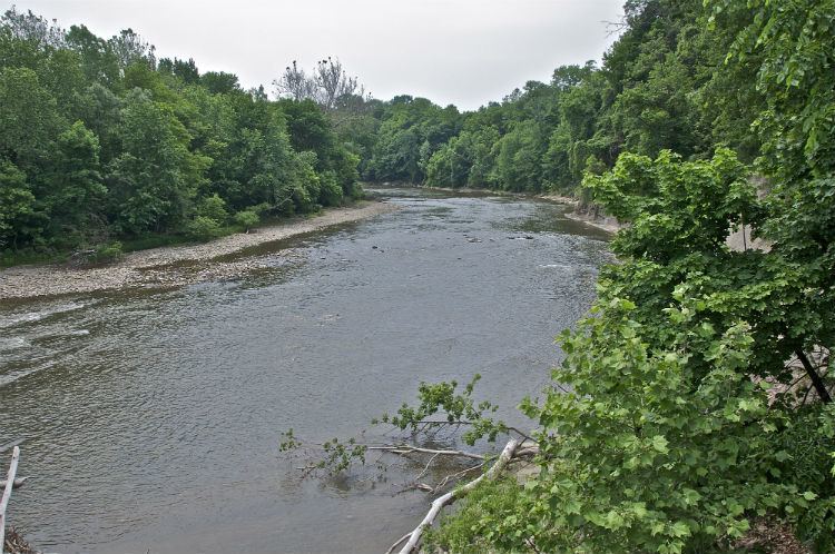
On January 17, 1974, the Grand River became Ohio's second wild and scenic river. Designated sections include: from Harpersfield covered bridge downstream to the Norfolk and Western Railway trestle south of Painesville (wild, 23 miles) and from the US 322 in Ashtabula County downstream to Harpersfield covered bridge (scenic, 33 miles). The Grand Wild and Scenic River represents one of the finest examples of a natural stream to be found anywhere in Ohio. Due to its rugged topography, the Grand River has not until recently felt the influences of urbanization. During the Pleistocene or Ice Age, the Wisconsinan glacier spread over Ohio in lobes, one of which is known as the Grand River lobe. This lobe ground and scraped its way south across northeastern Ohio, but was halted by the steep, erosion-resistant sandstone hills found to the south.The upper portion of the Grand River in Ashtabula County is designated scenic. The river is bordered in many areas by extensive swamp forests of elm, ash, maple, pine, pin oak and swamp white oak. The slow flow of this section of the river along with the adjoining wetlands provides excellent habitat for a number of wildlife species, especially river otters, which have made a strong comeback after their reintroduction by the Division of Wildlife in 1986 and 1988.The lower section of the Grand River in Lake County is designated wild. Here, the river is characterized by steeply-incised valley walls of Chagrin Shale. A view of the river in this area is truly spectacular especially following spring and summer showers when waterfalls cascade over the steep shale bluffs. Insuring the natural heritage of the Grand River is not limited to protecting the immediate streamside environment. Land use activities within the watershed; such as urban and residential development may have a direct and adverse effect on the long-term protection and preservation of this important Ohio water resource. The Grand River has the most aquatic diversity of any Ohio Lake Erie tributary. The Grand River has an active partnership group working with the state scenic rivers program and other agencies to assist with the rivers preservation. [12]
2006 flood
On July 28, 2006, the Grand River overflowed its banks and caused a state of emergency in Lake County and Ashtabula County due to flooding. The river reached 11 feet above flood level, a 500-year flood, due to a 1,000-year 48-hour rain. The flooding was so powerful that it caused a tributary (Paine Creek) to change course in at least one location. The area was subsequently declared a Federal Disaster area.
Variant names
According to the Geographic Names Information System, the Grand River has also been known historically as: