
Length: 50.4 mi (81.1 km) | ||
 | ||
South end: SH 65 (South Grand Mesa Drive) in Cedaredge North end: I-70 / US 6 south of De Beque Counties Delta County, Colorado, Mesa County, Colorado | ||
Grand Mesa Scenic and Historic Byway, also known at the Grand Mesa National Scenic and Historic Byway, is a scenic byway in Colorado.
Route description
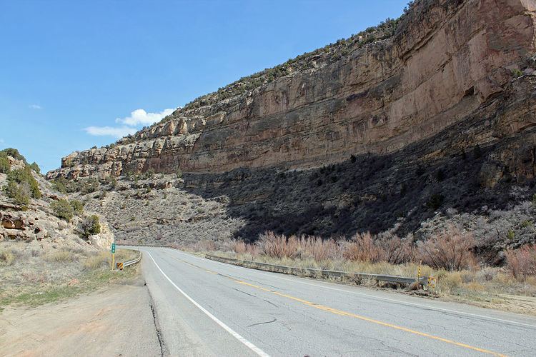
The byway runs north from Cedaredge along Highway 65, to the top of the Grand Mesa at more than 10,000 feet (3,000 m). It also includes Land's End Road to the Land's End Observatory from Highway 65. The byway continues past Island Lake, one of more than 300 trout-filled lakes in Grand Mesa National Forest. On the north side of the Mesa are the towns of Mesa, Collbran, and Powderhorn Ski Resort. The byway continues along De Beque Canyon, with its colorful sandstone bluffs, and eventually meets Interstate 70 in the town of De Beque.
Historic and scenic byway designations:
Scenic Overlooks include:
References
Grand Mesa Scenic and Historic Byway Wikipedia(Text) CC BY-SA