
Country United States FIPS code 29-28072 Elevation 290 m Zip code 64455 Population 169 (2013) | Time zone Central (CST) (UTC-6) GNIS feature ID 0730107 Area 67 ha Local time Friday 9:22 PM Area code 660 | |
 | ||
Weather 13°C, Wind N at 14 km/h, 33% Humidity | ||
Graham is a city in Nodaway County, Missouri, United States. The population was 171 at the 2010 census.
Contents
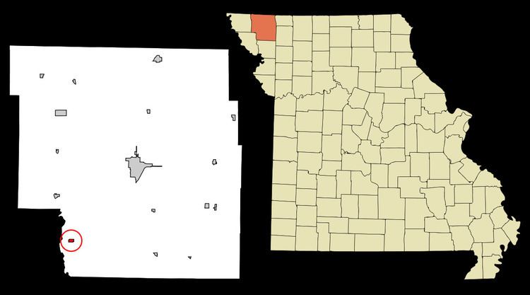
Map of Graham, MO 64455, USA
History
Graham was originally called Jacksonville, and under the latter name was platted in 1856. The present name is after Col. Amos Graham, a local clerk. A post office called Graham was in operation from 1852 until the building was demolished in 2014.
Simpson's College was listed on the National Register of Historic Places in 1978.
Geography
Graham is located at 40°12′5″N 95°2′20″W (40.201473, -95.038877). According to the United States Census Bureau, the city has a total area of 0.26 square miles (0.67 km2), all of it land.
2010 census
As of the census of 2010, there were 171 people, 78 households, and 47 families residing in the city. The population density was 657.7 inhabitants per square mile (253.9/km2). There were 89 housing units at an average density of 342.3 per square mile (132.2/km2). The racial makeup of the city was 98.8% White and 1.2% African American.
There were 78 households of which 30.8% had children under the age of 18 living with them, 48.7% were married couples living together, 7.7% had a female householder with no husband present, 3.8% had a male householder with no wife present, and 39.7% were non-families. 38.5% of all households were made up of individuals and 20.5% had someone living alone who was 65 years of age or older. The average household size was 2.19 and the average family size was 2.91.
The median age in the city was 44.8 years. 22.2% of residents were under the age of 18; 4.7% were between the ages of 18 and 24; 23.4% were from 25 to 44; 29.8% were from 45 to 64; and 19.9% were 65 years of age or older. The gender makeup of the city was 48.5% male and 51.5% female.
2000 census
As of the census of 2000, there were 191 people, 85 households, and 52 families residing in the town. The population density was 733.6 people per square mile (283.6/km²). There were 99 housing units at an average density of 380.2 per square mile (147.0/km²). The racial makeup of the town was 98.43% White, 0.52% African American, and 1.05% from two or more races.
There were 85 households out of which 24.7% had children under the age of 18 living with them, 52.9% were married couples living together, 5.9% had a female householder with no husband present, and 38.8% were non-families. 32.9% of all households were made up of individuals and 16.5% had someone living alone who was 65 years of age or older. The average household size was 2.25 and the average family size was 2.85.
In the town the population was spread out with 23.0% under the age of 18, 5.2% from 18 to 24, 24.1% from 25 to 44, 26.7% from 45 to 64, and 20.9% who were 65 years of age or older. The median age was 44 years. For every 100 females there were 85.4 males. For every 100 females age 18 and over, there were 83.8 males.
The median income for a household in the town was $24,306, and the median income for a family was $40,250. Males had a median income of $28,750 versus $23,750 for females. The per capita income for the town was $13,816. About 17.6% of families and 21.6% of the population were below the poverty line, including 26.1% of those under the age of eighteen and 32.1% of those sixty five or over.