
Administrative center selo of Grachyovka Rural localities 16 | selsoviet 6 Area 1,795 km² | |
 | ||
Municipally incorporated as | ||
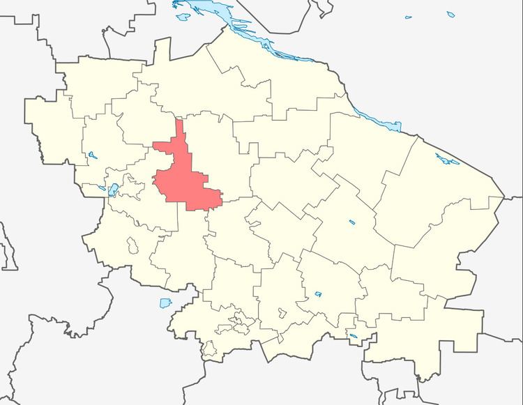
Grachyovsky District (Russian: Грачёвский райо́н) is an administrative district (raion), one of the twenty-six in Stavropol Krai, Russia. Municipally, it is incorporated as Grachyovsky Municipal District. It is located in the western central part of the krai. The area of the district is 1,794 square kilometers (693 sq mi). Its administrative center is the rural locality (a selo) of Grachyovka. Population: 36,272 (2010 Census); 36,110 (2002 Census); 31,970 (1989 Census). The population of Grachyovka accounts for 18.4% of the district's total population.
Map of Grachyovsky District, Stavropol Krai, Russia
References
Grachyovsky District, Stavropol Krai Wikipedia(Text) CC BY-SA