
Admin. region Gießen Elevation 275 m (902 ft) Area 89.25 km² Postal code 35305 Administrative region Giessen | District Gießen Time zone CET/CEST (UTC+1/+2) Population 13,944 (30 Jun 2009) Local time Saturday 5:10 AM | |
 | ||
Weather 1°C, Wind E at 8 km/h, 87% Humidity Points of interest Museum Im Spital, Altes Kloster, Alte Universität | ||
Grünberg is a town in the district of Gießen, in Hesse, Germany. In 1980, the town hosted the 20th Hessentag state festival.
Contents
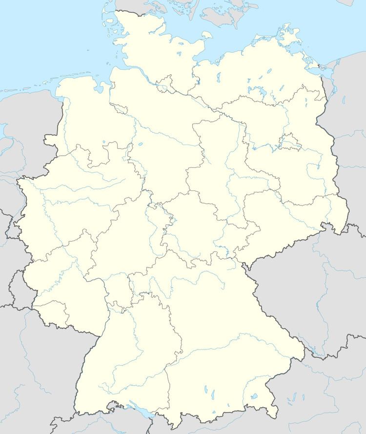
- Map of GrC3BCnberg Germany
- Geography
- Neighbouring communities
- Constituent communities
- Twin towns sister cities
- Education
- Transport
- References
Map of Gr%C3%BCnberg, Germany
Geography
Grünberg is situated 20 km (12 mi) east of Gießen.
Neighbouring communities
To the north Grünberg borders the municipality Rabenau and the town Homberg (Ohm) (Vogelsbergkreis), to the east the municipality Mücke (Vogelsbergkreis), to the south the town Laubach and to the west the municipality Reiskirchen.
Constituent communities
The town of Grünberg also consists of the nearby villages of Beltershain, Göbelnrod, Harbach, Klein-Eichen, Lardenbach, Lehnheim, Lumda, Queckborn, Reinhardshain, Stangenrod, Stockhausen, Weickartshain and Weitershain.
Twin towns — sister cities
Education
Transport
Grünberg has a junction of the Bundesautobahn 5. There are stations on the Vogelsberg Railway (Vogelsbergbahn) in the town of Grünberg (Grünberg station) and the villages Göbelnrod (Göbelnrod station) and Lehnheim (Lehnheim station).