
Length 58.3 km | ||
 | ||
Component
highways: N405 from Ternate to Naic
N403 from Naic to Trece Martires
N65 from Trece Martires to Carmona
N651 at Carmona East end: Soro-soro Bridge in Biñan, Laguna West end: Palay-palay Junction in Ternate, Cavite Major cities Dasmariñas, Trece Martires, Biñan Towns Carmona, Cavite, General Mariano Alvarez, Tanza, Cavite, Naic, Ternate, Cavite | ||
The Governor's Drive is a 2 to 9 lane, 58.3-kilometre (36.2 mi) network of roads and bridges traversing through the central cities and town in the province of Cavite, Philippines. It is the widest of the three major highways located in the province, the others are Aguinaldo Highway and A. Soriano Highway. The highway is part of a series of national highways, numbered 403 ,N405, N65, and N651
Contents
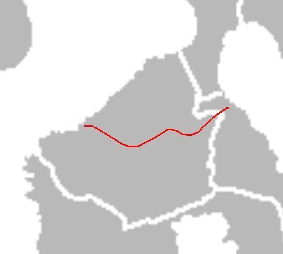
- Map of Governors Dr Philippines
- Palapala to Cavite Laguna boundary
- Palapala to Ternate
- Landmarks and locations
- References
Map of Governor's Dr, Philippines
The eastern terminus of the highway is at Soro-soro bridge in Biñan, Laguna then it travels along Carmona, General Mariano Alvarez, Dasmariñas, General Trias, Trece Martires, southern Tanza, crosses A. Soriano Highway in Naic and ends at palay-palay junction in Ternate.
The highway is mostly concrete paved, while some other parts are currently being rehabilitated and being overlaid by asphalt.
Palapala to Cavite-Laguna boundary
Governor's Drive towards the provincial boundary with Laguna starts near SM City Dasmariñas at the Palapala intersection with Aguinaldo Highway. It then winds eastward, as it nears Manila Memorial Park, just on the side of the highway. It intersects Paliparan Road and then enters General Mariano Alvarez (GMA) through a bridge on the Dasmariñas-GMA boundary. It passes through GMA's town center before curving northeast at the GMA-Carmona boundary. At Carmona, it mostly runs through the town's industrial areas and bypasses the town center on the north. It soon crosses the South Luzon Expressway and enters Biñan, where it continues as General Malvar Street.
Palapala to Ternate
Governor's Drive toward Ternate starts also at the intersection with Aguinaldo Highway at Palapala, near Robinsons Place Dasmariñas. It is mostly a 6-lane highway when it runs westward towards General Trias, Cavite. The highway passes through the western barangays of Dasmariñas, and then enters General Trias. It soon intersects Arnaldo Highway near the San Miguel and Purefoods-Hormel factories. The highway soon crosses Crisanto Mendoza de los Reyes Avenue at Manggahan. Then, it enters Trece Martires at Pulunan Bridge. Afterwards, it passes over Trece Martires city proper and continues toward Naic.
After passing Trece Martires, Governor's Drive continues westward on a slightly winding route toward Naic. It soon enters Naic, turns left toward Ternate, and intersects with Naic-Indang Road. The highway follows a straight route, turning right and soon ends at the bridge over the Maragondon River near Ternate. The highway continues toward Nasugbu as Ternate-Nasugbu Highway.
Landmarks and locations
The Governor's Drive is also home to many known places and landmarks. Such malls like SM City Dasmariñas, SM City Trece Martires, Robinsons Place Dasmariñas, Puregold Trece Martires (San Agustin and Hugo Perez) Walter Mart General Trias,Walter Mart Trece Martires and Walter Mart Carmona are located along the highway. Many industrial estates and factory plants are also located here such as the Golden Mile Business Park, People's Technology Complex, Mountview Industrial Complex, Grandville Industrial Complex, Dasmariñas Technopark, Monterey Meat Plant, the First Cavite Industrial Estate, Purefoods-Hormel Plant, Magnolia Plant,Sugarland Estates,Eagle Ridge Golf Course and the Royal Tern Ceramics Philippines.