
Area 92,688 km² | Time zone GMT (UTC+0) | |
 | ||
Weather 38°C, Wind E at 18 km/h, 5% Humidity | ||
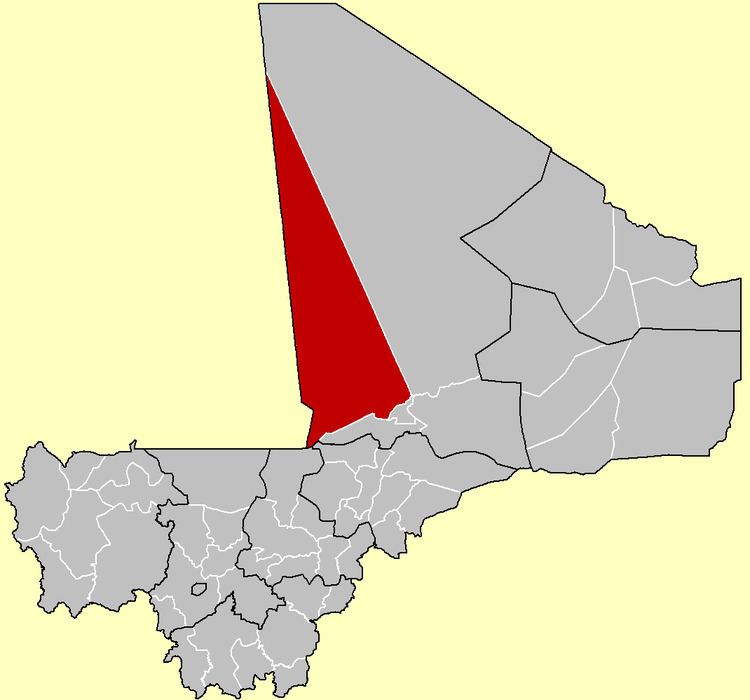
Goundam Circle is a second-level administrative subdivision of the Tombouctou Region in northern Mali. Its administrative center is the town of Goundam, although the most populous commune is that of Tonka. In the 2009 census, the circle had a population of 150,150.
Although Goundam Cercle extends far into the north of Mali, the entire northern two thirds in covered by the inhospitable Sahara desert. In the south, the seasonal lakes and rivers along the northern edge of the Inner Niger Delta provide a meager living for the population, mostly occupied in pastoralism, farming, and fishing. The population is Tuareg and Maure nomads in the vast north, with settlements of Fula people, Songhai people, and Bozo people in the far south of the Cercle. Seasonal lakes in this area include Lake Faguibine, Lac Télé, Lac Fatil and Lac Oro. There is an airport at Goundam, and a highway running towards Mopti far to the southwest and east to the regional capital of Timbuktu.
During the Tuareg rebellion of 2012, the government of Mali lost control of the northern part of the country, which was declared independent from Mali altogether as part of the breakaway state of Azawad by the National Movement for the Liberation of Azawad (MNLA) on 6 April 2012. The MNLA government was expelled from the region after June 2012, and the area continued under control of various militias and Islamist organizations.
Goundam Cercle contains sixteen communes: