
Country South Africa District Cape Winelands PO box 6821 | Province Western Cape Municipality Drakenstein Area code 023 | |
 | ||
Gouda is a settlement in Cape Winelands District Municipality in the Western Cape province of South Africa.
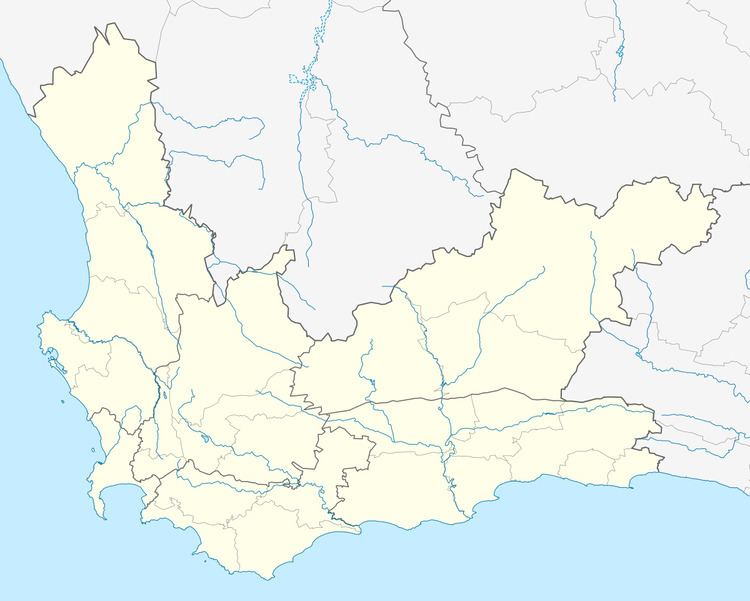
Map of Gouda, South Africa
The town lies some 38km south of Porterville, 14km west of Tulbagh and 61km north-west of Worcester. Prior to 1929, it was known as Porterville Road. Of Khoekhoen origin, the name Gouda is said to mean ‘antelope’. Another possible translation is ‘honey path’, ‘honey defile’. It is unrelated to the Dutch city of the same name.
The 138 MW Gouda Wind Farm, opened in September 2015, is situated just outside the town.
References
Gouda, Western Cape Wikipedia(Text) CC BY-SA